


|
|
|
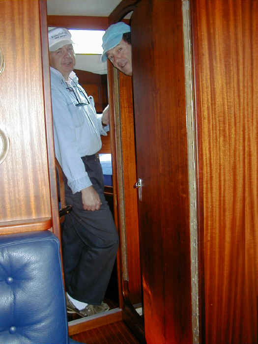
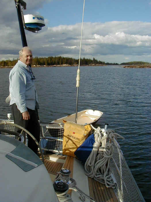
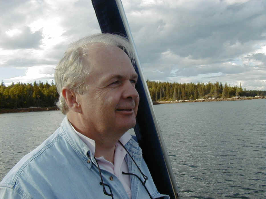
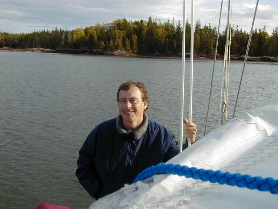
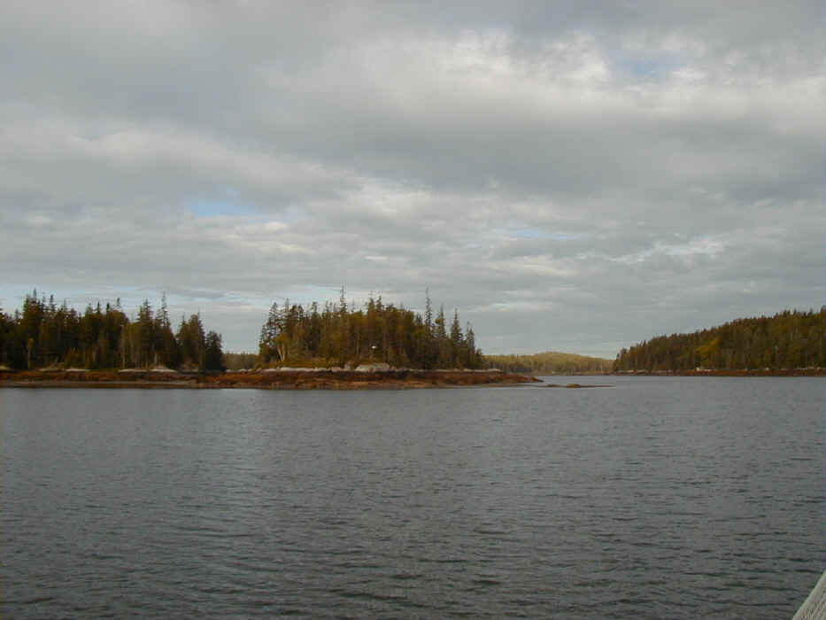
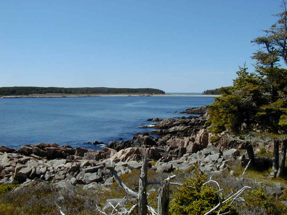
I had described my sailing adventures to Doug Macauley a few times, and he mentioned his own sailing adventures, including taking lessons and racing on the Hudson River. I always enjoy taking a new sailing enthusiast on one of our trips to Maine. The sailing challenges, the beautiful seacoast, and the good sailing weather in spring are an almost unbeatable combination. Doug's good cheer only added to our fun. The first day, from Camden to Seal Bay on Vinalhaven, was about as good a day of sailing as you can have. We sailed the entire way, using the spinnaker in a gentle morning northwesterly, then sailing all the way through Hurricane Sound and the Fox Island Thorofare in a brisk southwesterly under full main and our 130 heads'l. Finally, we hardened up at the exit to make our way around the headlands on the northeast side of Vinalhaven to the entrance to Seal Bay, one of my favorite spots in Maine. On the second day, we crossed to Isle Au Haut, an island I've wanted to visit for years. One year we were planning to visit and were frustrated when we unexpectedly had to refill our propane tank. We were forced to go to Stonington on Deer Island, where we begged a passing van driver who turned out to be Milly Lawry, a local resident and a sweet lady with a great sense of humor, to give us a ride to the propane station. Since then, we focused more on northern Maine and Nova Scotia, and had no opportunities to make it to Isle Au Haut. We anchored in Duck Harbor, a bit of a difficult spot with somewhat questionable holding ground and too open to westerlies. However, we got ourselves well nestled in, and the winds appeared mild and far enough south to allow us a few hours of hiking. We landed the P. Ellen and headed out for a very long and strenuous hike to the top of Duck Mountain and almost all the way to the southeastern shore. We were too ambitious, we discovered, in thinking we could go to southeastern shore and then back along the southern cliff trail. We wouldn't have returned to the boat for several more hours. So, we headed back before conditions changed in the anchorage, but not before having lunch overlooking the Atlantic high up on some rocky cliffs. We sailed away from Duck Harbor for what should have been an easy sail to Frenchboro, Long Island. We put up the spinnaker as we turned down Merchant Row. As the winds freshened in the late afternoon, Michael and I discussed the question of how strong we should allow the winds to get before dousing the spinnaker. Michael wanted to go to 19 knots. I remembered out loud how difficult the takedown had been in previous 19 knot plus situations, and we agreed to snuff the chute on the first reading of 18 knots of wind speed on the anemometer. Michael was surprised when I rushed forward the minute we clocked 18 knots of wind speed. The wind very quickly started gusting up to about 22 knots, and we were facing that difficult spinnaker takedown situation I had been hoping to avoid. I was having trouble keeping the sail from filling back up as we pulled the sock down. I was trying to explain to Doug that he needed to ease the sheet further as the sock came down. We had several cycles of dropping the sock half or two thirds only to have it fill back up and feel the boat rush forward and heal way over, as we were pointed somewhat too far into the wind because of trying to luff the sail during the collapsing phase. Finally, Doug and Michael figured out what was happening, eased the sheet more, and Doug ran forward to help me pull the sock down the final 15 feet, an enormous help. I later found a large blister had formed and ripped off of my middle finger where I had been pulling on the control lines for the sock. This wasn't the demonstration of spinnaker techniques I was hoping for with our new sailor, Doug, on board. Since then, I've gone on the internet reading about spinnaker takedown techniques looking for some wisdom on dousing spinnakers when the wind is stronger. I read about a method I've used twice now successfully but still haven't tried in higher winds. You ease the downhaul after releasing the collar that attaches the tack to the headstay. Then, as the sail collapses, you haul the sheet tight and pull the sock down along the leach of the sail. The benefit of this method is you don't turn up wind, which is unstable with the spinnaker, especially if it fills back up in a stronger gusty breeze. Also, the spinnaker is blanketed by the mainsail, and the apparent wind speed is less. The only issue is the sock seems to want to come too close to the spreaders on the way down, even laying against them in some cases. I think this happens because there is air flow around the forward edge of the mainsail that sucks the sock and the spinnaker along the mainsail's forward edge, pulling it toward the spreaders. Turning more downwind with the main properly prevented might alleviate this problem. After we managed to drop the spinnaker, we sailed south of Marshall and north of Black Ledge, the direction favored by the west wind we were experiencing. Avoiding the ledges required careful navigation, so I went from fighting the spinnaker to focused atttention on our bearings off of Marshall and some of the islands nearby. I was relieved to arrive in Lunt Harbor, Frenchboro, Long Island and rest from a very busy and physically challenging day of sailing and hiking. I knew I was tired when the crew of a nearby vessel asked us where we had come from, and I found myself stuttering trying to remember what port we had left from that day. Michael ended up answering, and I'm sure they thought I was unfriendly and unsociable for simply staring at them when they had tried to engage in a little friendly boat to boat smalltalk. The next day morning we went on a hike on Long Island. We found a beautiful trail through an island wildlife refuge to Eastern Point. We then walked all the way to Rich's Head, passing a couple of very nice coves, which I thought could make fun anchorages on a future trip. We couldn't find the trailhead at Rich's Head, which was indicated on a chart we had. So, we made the famous mistake of thinking we could bushwhack our way to the trail head and find it easily. We wandered through the woods for a good half hour before finally happening upon the trail. We made a very poor choice to turn left, guessing on shadows and some idea of the winding path's location and our general path through the woods. After another hour or more we discovered we were on the south side of the island. We walked another hour to retrace our steps and finally found our way to the Beaver Pond, and a path leading along the northern side of the island. All in all, we must have hiked for around five hours on a two mile square island before finding our way back to the boat. We were all exhausted, and I wondered if Doug could possibly have considered this part of the trip to be fun. It's hard to plan the land exploration on these islands, as the information about trails is sketchy and hard to get in advance.
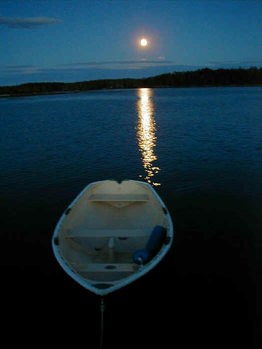
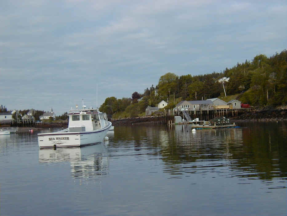
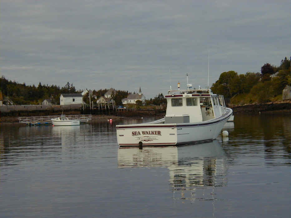
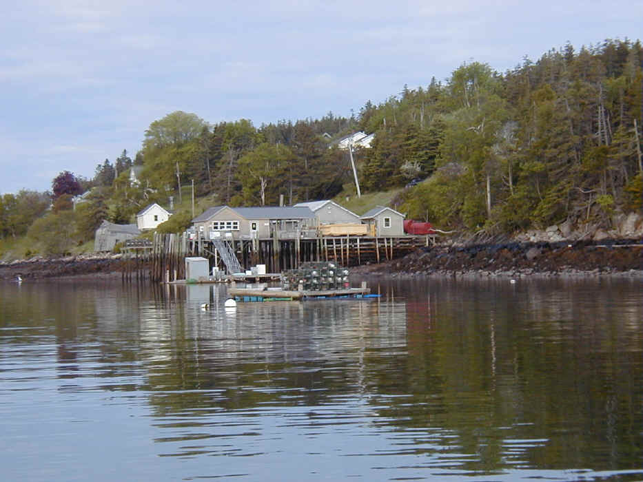
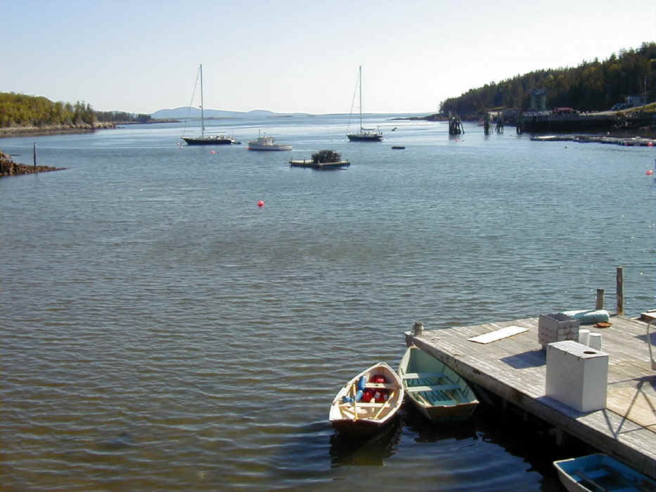
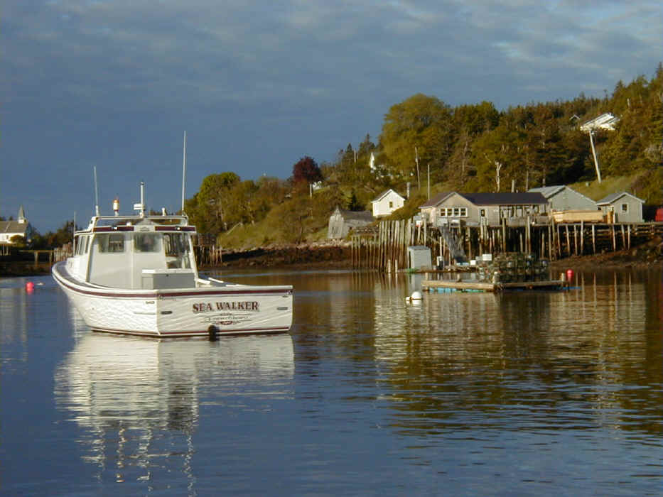
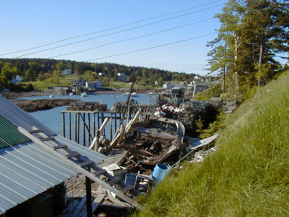
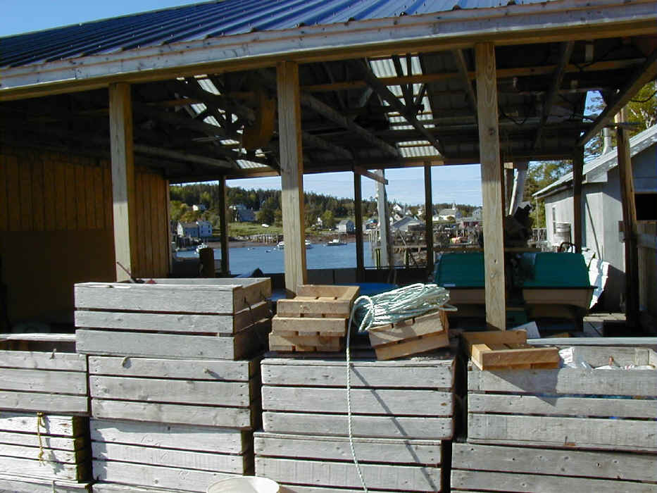
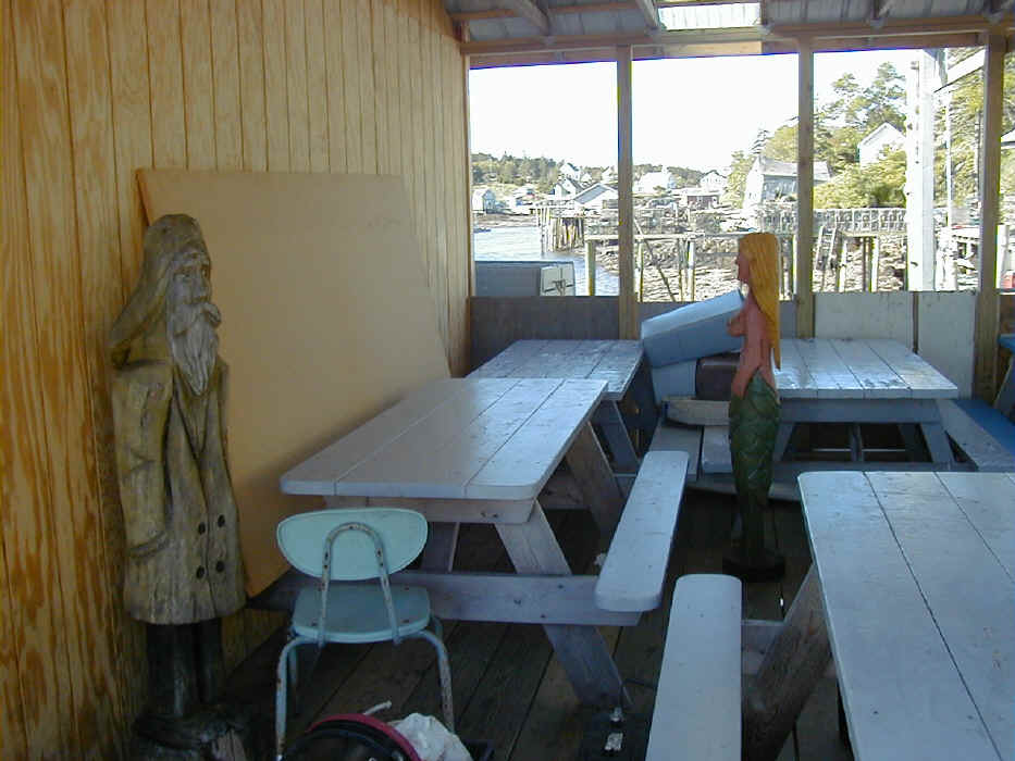
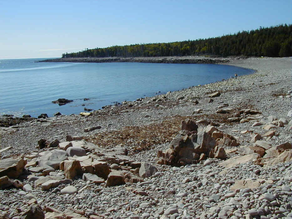
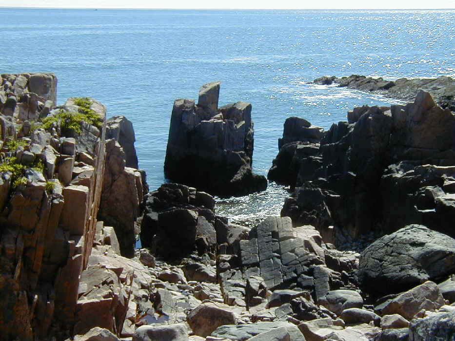
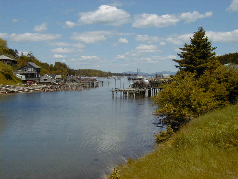
Various views of Lunt Harbor.
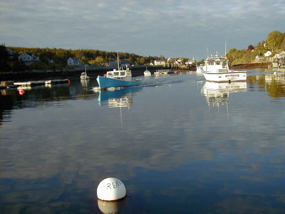
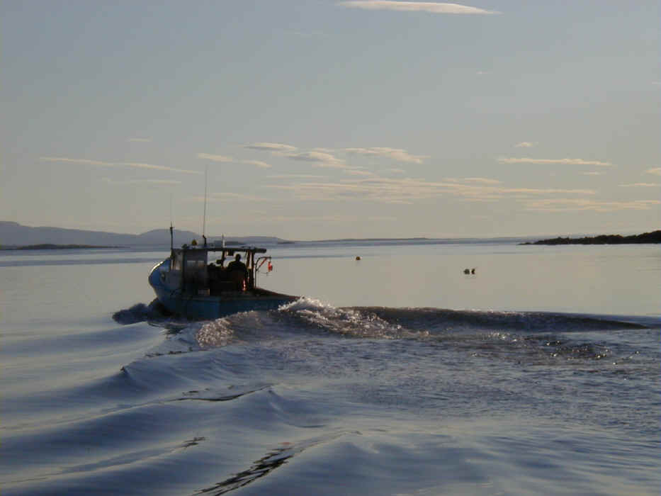
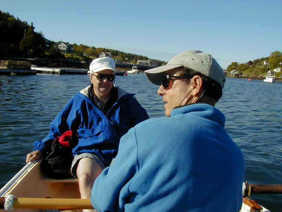
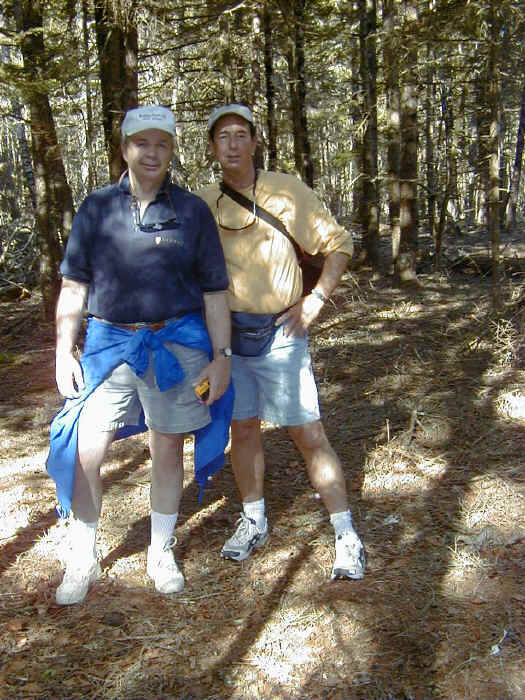
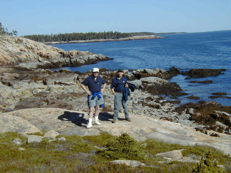
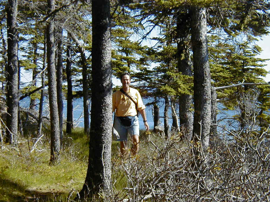
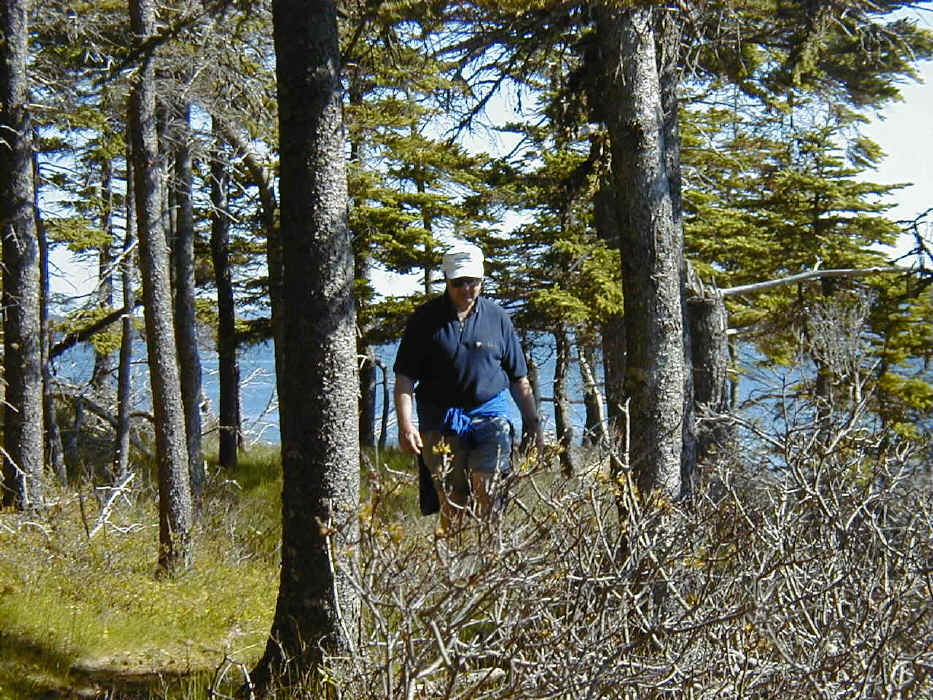
On our way to a very, very long hike.
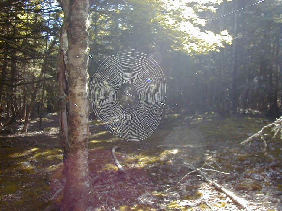
Now no pictures until we make it back to the innner harbor much, much later...
|