


|
|
|
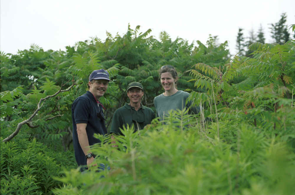
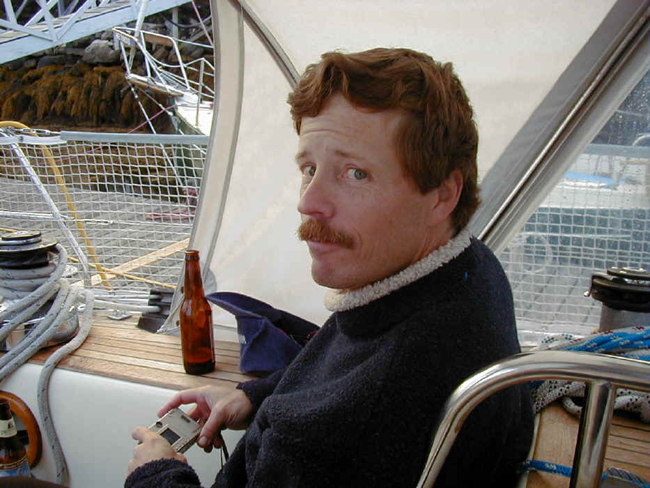
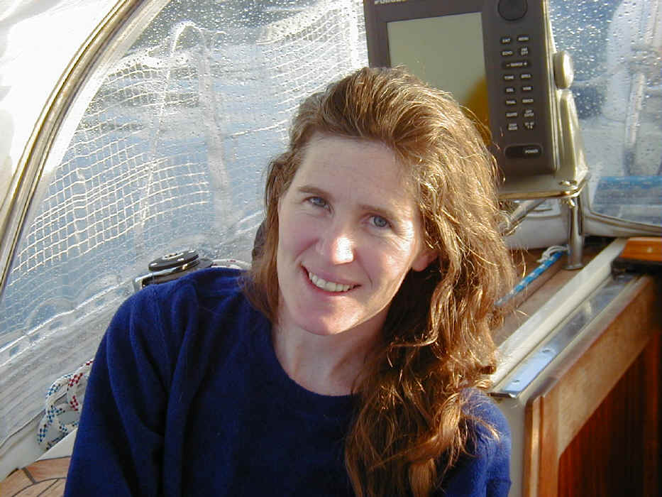
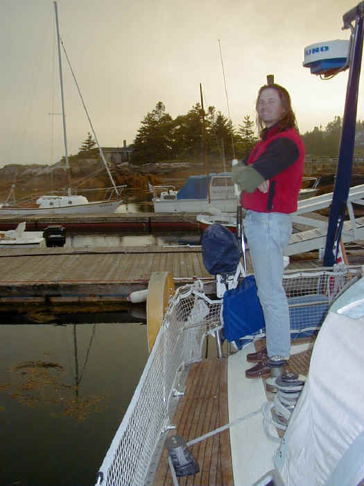
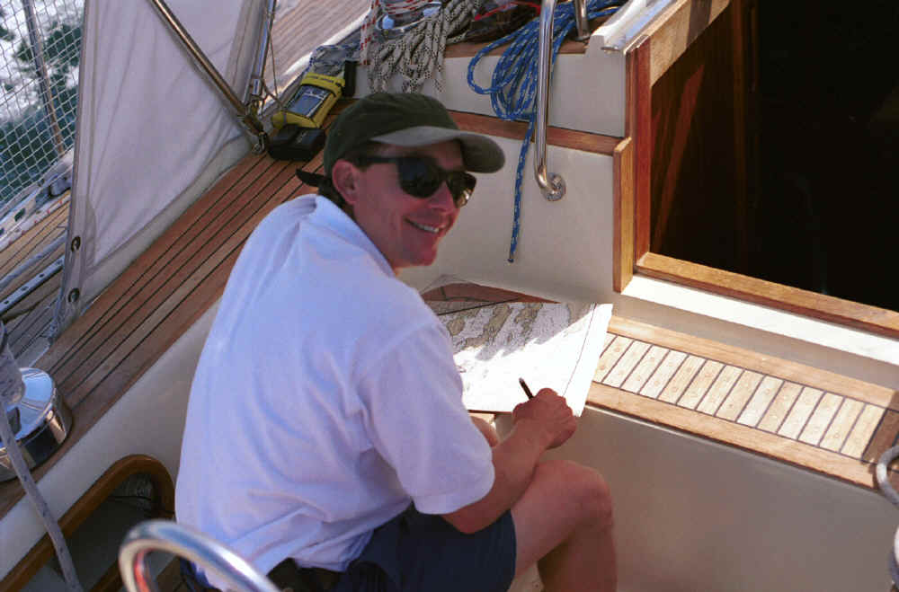
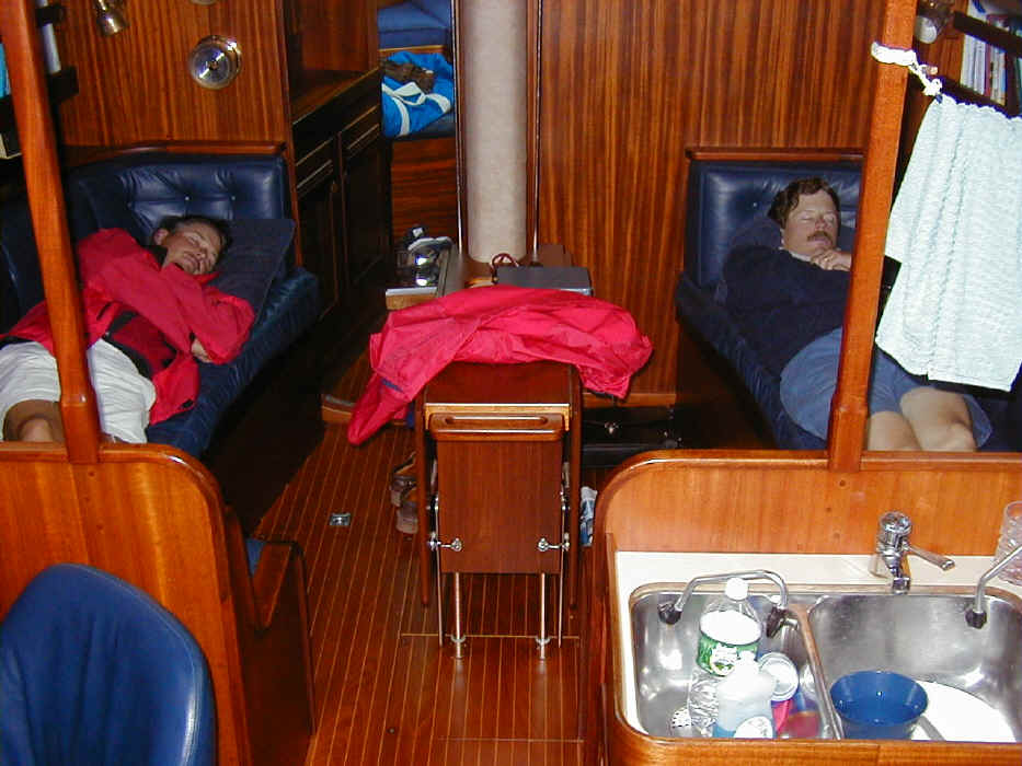
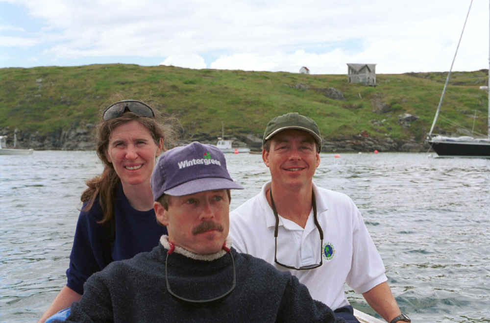
The traditional annual cruise with Dan Harper changed crews this year. My dad was very busy and Ralph was absorbed in creating his new establishment, the Marco and Pepe Cafe in Jersey City. Fortunately, another traditional and much enjoyed Chaos crew of several cruises, Charles Freeman and his wife, Maureen McNulty were able to join Dan and me in our Sixth Annual Northeast Coastal Cruise. Dan shot some video on his new mini-DV camera. I wanted to come back to Maine after two wonderful years of cruises in Nova Scotia. The exploration of Nova Scotia was memorable but also took Chaos far from our spring and summer cruising grounds in Nantucket and Maine. Dan and I decided to try to visit a "best of" list of destinations from Portland to Northeast Harbor, based on the many trips we have made along the Maine coast both together and apart over the last few years. Our destinations on this trip were:
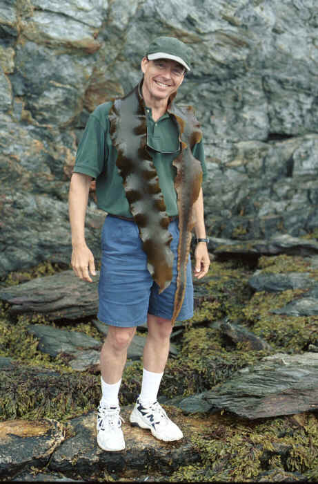
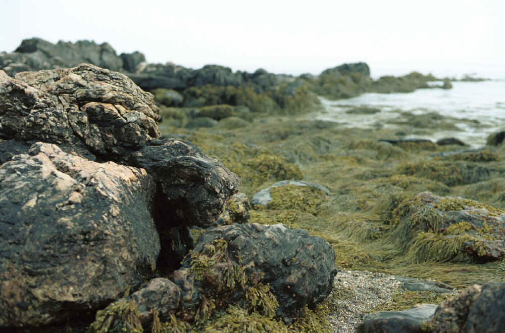
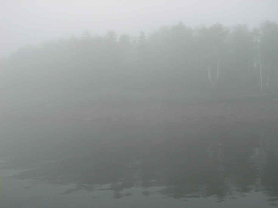
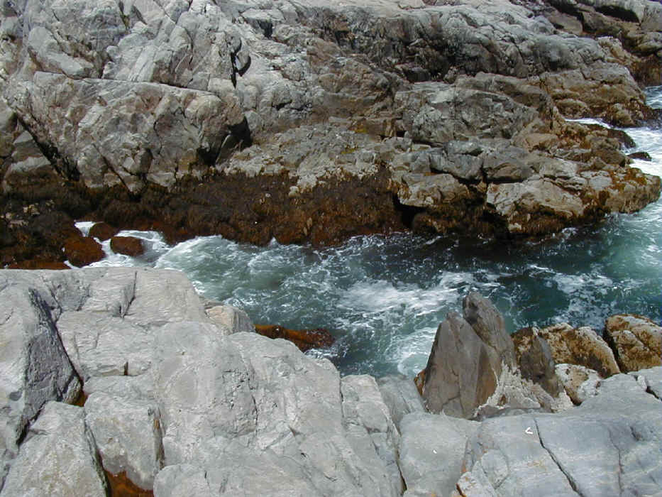
We sailed to Jewel Island in fog and only saw the shores as we pulled into the cove. We enjoyed a nice hike to the coves on the south side of the island where the tidal areas are full of mussels, many forms of seaweed, and other interesting sea life. The sedimentary rock, some of it slippery and powdery, like graphite, was also a point of interest. We needed a geologist among us.
On the way to the south side, we climbed the military lookout towers used to search for U-boats in World War II and explored the underground storage areas and gun emplacements. The fog had lifted and we were able to see much of the water we would travel the next day, although Cape Small was just a sliver on the horizon.
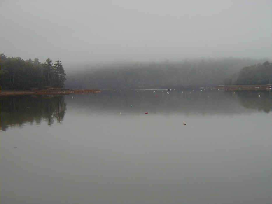
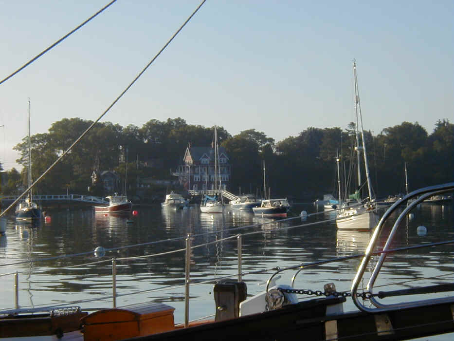
On the way to The Basin the next day, we stopped for an impromptu lobster lunch at Cundy's Harbor, a good spot to stay overnight as an alternative to The Basin. The Basin was easier to enter than I had remembered and seemed larger than I had remembered. We spent a long time trying to find a comfortable harmonious spot to anchor. Dan was having trouble finding the comfort zone, but we eventually settled in front of the island out in the middle.
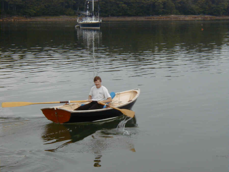
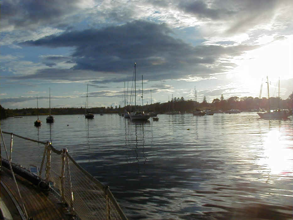
The Basin in the early morning. Charlie rowed the P. Ellen to check out another boat anchored nearby.
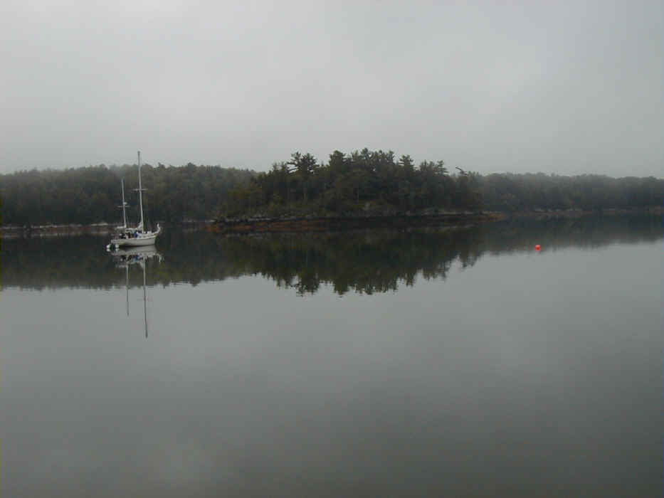
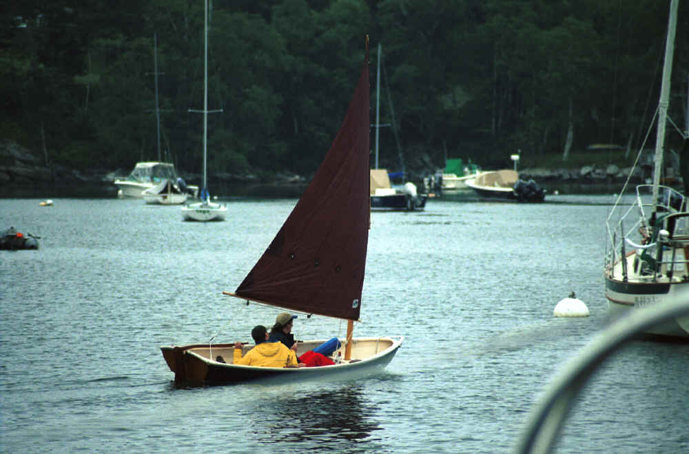
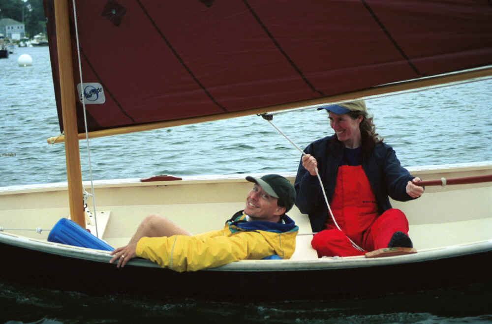
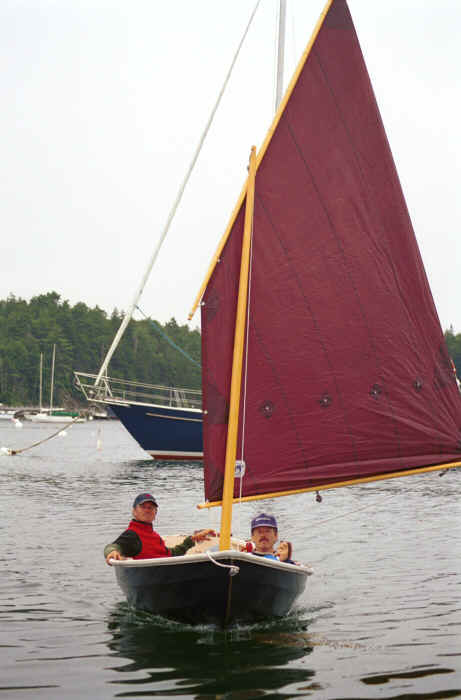
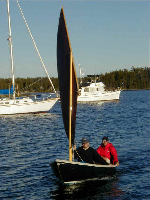
We decided to explore the Sebasco Harbor on our way from The Basin. A fisherman was nice enough to come out on his dock and give us some piloting information. Otherwise, it would have been a fairly difficult exercise in stop watch navigation, as the cut wasn't very well marked and could only have been found by carefully sighting some points on land. Fog enveloped us on our way out, but we at least enjoyed some radar navigation training. You can't be in Maine, particularly in summer, without exercising these skills from time to time. Although the fog lifted, we lost our wind and ended up motoring almost the entire day, passing Damariscove Island on our way to Christmas Cove. Christmas Cove was a quaint little harbor and town. We had a slip right at the restaurant. The wind was perfect, and we immediately launched the P. Ellen for some sailing in the harbor. All of us enjoyed sailing around. Maureen took me for a nice ride, demonstrating a good knowledge of dinghy sailing, as we rounded various boats in the harbor. As usual, there were many whistful admirers complimenting us on the P. Ellen, obviously wishing they had a like sailing dinghy of their own instead of an inflatable with an engine. The restaurant at Christmas Cove provided a very nice dinner overlooking the harbor.
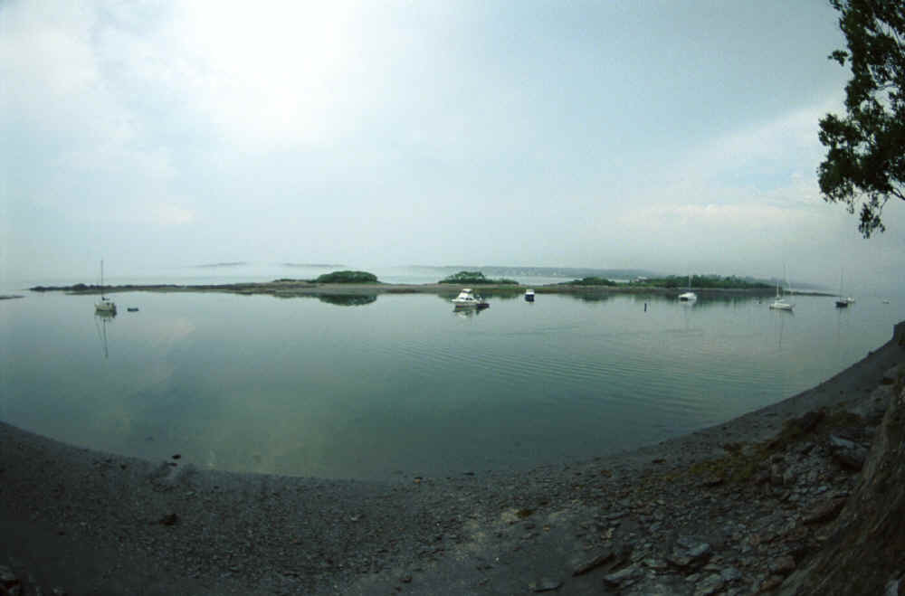
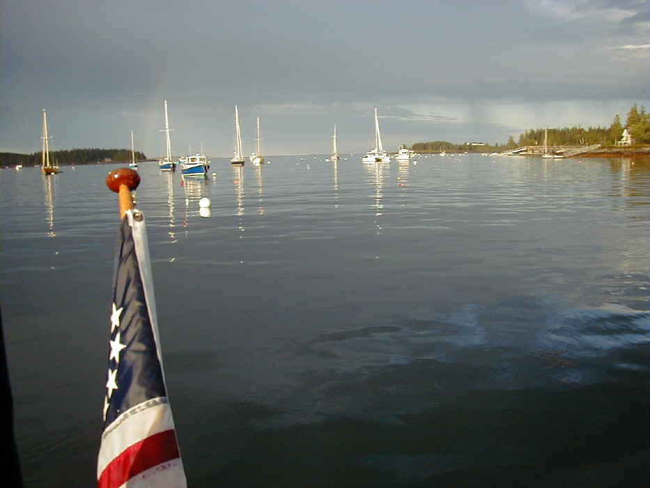
Christmas Cove.
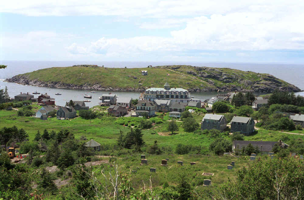
From Christmas Cove we made our way to Monhegan, seeing a whale along the way. The sail was a nice beam reach out to the island. Unfortunately, although we had sun, we also had threatening thunderstorms in the afternoon. We made it there, but we only went on a short walk to the lighthouse and then came back to make our way to Tenants Harbor. We wanted to avoid being stuck on Monhegan for the night in unsettled weather, which we have been warned about in the cruising guides. It's easy to see why, given the exposed harbor. Dan and I at least enjoyed the wonderful meatball parmigian subs from the store for lunch.
In Tenants Harbor we went for a walk in the evening and looked for a restaurant. Maureen was apologetic, as she had been the one wanting to take a walk first, when we discovered the only restaurant near the docks was already closed at 8:30. The fish market was open, and she bought some sea scallops. The apology was unnecessary. Maureen made the most fantastic scallops with pasta al pesto. It was one of the memorable dinners aboard Chaos.
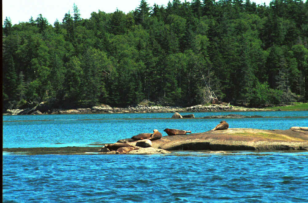
Our trip to Seal Bay was another perfect day of sailing. If we had missed this day, I would have to say the conditions weren't ideal. We did motor quite a bit on this trip due to light winds. However, our trip to Seal Bay gave us our ration of great Maine sailing. We used the spinnaker on the way to the entrance to the Fox Island Thorofare, jibing out to the southern tip of Vinalhaven and then jibing north along Vinalhaven. We then sailed under a prevented main all the way through the Thorofare, enjoying the views along both sides. At the exit of the Thorofare, we had a beat in smooth water and plenty of breeze, around 18 knots, under full main and the 130 headsail all the way to the entrance of Seal Bay.
In Seal Bay, the wind was a bit too strong at first for a P. Ellen sail. I could tell Charlie was itching to go, but he wisely settled in with Dan for a little nap. A couple of hours later, the wind had dropped, and Charlie was on the case. We launched rigged the P. Ellen, and Charlie and Dan were off. They headed away toward the entrance to an area that looks like all rocks and very little water on the chart. Clearly they wanted to circumnavigate an island near the entrance to Seal Bay. I told Maureen this was to be expected with Charlie and Dan in a sailing dinghy. I knew I was right when they appeared a long time later on the other side of the island.
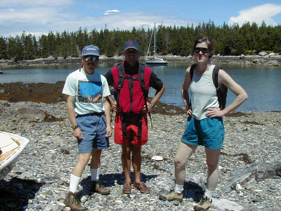
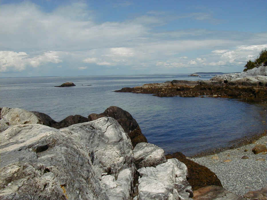
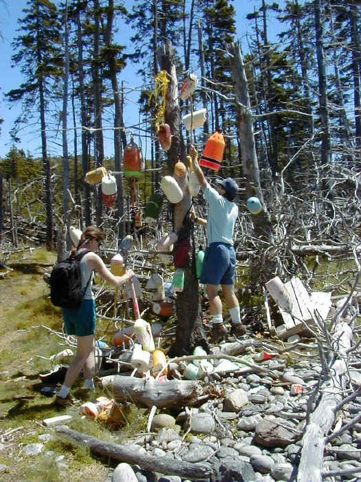
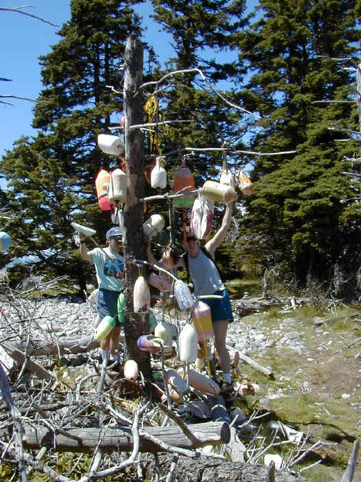
Maureen and I decided to circumnavigate the island on the upwind side. We round the first cut was fully exposed, even close to high tide. We continued way into the eastern cove, and found a 10 foot wide, 2 foot deep cut we just glided across, raising the centerboard at the right moment. In the morning we motored our way out of Seal Bay, following a reversal of our incoming track on Dan's amazing new GPS, the Garmin 76. I finally know I need to get a new GPS. This one really has some great stuff, including charts of the area that seem to cover all the major buoys and land masses. In calm conditions, we continued on to Duck Harbor on Isle Au Haut. I knew from our previous visit that Duck Harbor was a somewhat difficult spot to anchor. Dan recommended we use a stern line tied to rocks on one side of the harbor to reduce our swing and maintain tension on the anchor. Charlie and Maureen took on the task of properly knotting some very long lines end-to-end and attaching the end to a very large rock above the tide line. The method worked, and I made note of this for future trips to Duck Harbor. We set off to find the trail to the cliffs, since the trail over Duck Mountain proved to be tedious last time we were here. We quickly found our way to the west side of the island heading toward the south shore cliffs. This path was fairly easy to negotiate and led us to some beautiful views of the coves along the south shore. Along the way we encountered an interesting makeshift sculpture of lobstering buoys and debris. We added a few of our own touches to the sculpture, as this seemed to be the thing to do. We had lunch way up over some nearly vertical drops down to the ocean. Kayakers were bravely crossing at what seemed like quite a long distance from shore.
We decided against a very long additional hike that would have taken us to a pond for some swimming. Instead, we headed back to the boat to sail on to Burnt Coat Harbor. In the afternoon we had some breeze and sailed down Merchant Row and on to Burnt Coat Harbor, this time going north of Marshall. Burnt Coat Harbor was the same pretty spot we remembered. What I did not know was how few facilities are available here, or we might have continued on to Lunt Harbor at Frenchboro, Long Island. While Charlie and Dan napped, Maureen and I took a very long walk on Swan's Island in an effort to find the Odd Fellows Hall, where a play was rumored to be performed that evening. We did find the hall, but the play had already started. It seemed like we might be disturbing the performance if we strangers walked in during the performance, so we moved on. However, I did note a pancake breakfast was scheduled for the following morning. We returned to the boat for the evening and dinner aboard. When I awoke the next morning all were sleeping soundly and looked like they might continue for some time. I knew we weren't in a big rush, as we only had to make 15 miles to Northeast Harbor to catch our plane home. I decided to sneak out and check out the pancake breakfast. The Odd Fellows Hall was buzzing with activity when I arrived. I entered and tried not to be too self-conscious, as people watched me figure our how to pay and get in line. Clearly everyone seemed to know everyone else here, but they were friendly enough. I sat down with a couple who had a 3 year old girl with them. We had fun talking about kids and boats. Their parents owned a house on the island and they visited every summer. I found out the island was controlled by lobstermen who wanted to keep the island in its current state. I can't blame them, it is a beautiful place, unspoiled by the huge houses and waterfront noise from bars and restaurants so common along the coast. They have a dry island, which they believe will keep the crowds and yachting types away and the island pristine. It seems to be working. We ended the trip in Northeast Harbor and made our way to the airport for the ride back to Nantucket. Dan and I dropped off Charlie and Maureen in Portland for their flight home to New Hampshire.
|